
The Magic Valley unfolds quietly around Kimberly, offering a compelling blend of canyon drama, rural charm, and cultural touchstones. Close by, the Snake River etches a monumental corridor through basalt, while historic byways lead to bygone stations, ranches, and pioneer traces. This is a place where day trips feel effortless, yet the scenery lingers long after the drive home. Whether the goal is a picnic beside a turquoise spring or a contemplative walk under cottonwoods, the surrounding landscape delivers in abundance.
Getting Oriented in the Heart of the Valley
Kimberly sits just east of Twin Falls, well positioned for swift access to parklands, overlooks, and heritage locales. The town itself exudes a neighborly cadence, and within a short radius, the terrain shifts from irrigated fields to rimrock vistas and riparian niches. The Snake River Canyon shapes much of the itinerary here—its sheer walls, pedestrian paths, and gateways to cascades provide a natural spine for exploration.
River and Canyon Wonders
Water defines the region’s character. Within a brief drive, canyon overlooks yield panoramic perspectives of basalt columns, emerald river bends, and the improbable arc of an iconic bridge. Below the rim, the riverside trails feel cool and sheltered, a study in contrast to the sunlit plateau above. Marshy side channels, willow thickets, and migrating waterfowl add texture to the experience, particularly in the shoulder seasons.
- Shoshone Falls Park: A renowned viewpoint where seasonal flows thunder into the canyon, surrounded by terraced lawns and pathways with commanding vistas.
- Perrine Bridge Overlook: A sweeping perch above the Snake River, ideal for sunrise color and evening alpenglow across the rim.
- Centennial Waterfront Park: A river-level retreat with access to canyon-side paths, picnic nooks, and water-oriented outings.
- Auger Falls Heritage Park: A network of trails threading through sagebrush benches, sculpted lava, and mellow river edges.
- Dierkes Lake: A family-friendly reservoir adjacent to the canyon, popular for lakeside strolls and shoreline lounging.
Historic Footprints and Cultural Threads
Local history is etched into ranch homesteads, freight stations, and irrigation-age landmarks. The area’s historic corridors convey how ingenuity met the challenges of basalt and sage. Interpretive plaques and preserved structures invite meandering rather than rushing, offering insight into the people who shaped the valley’s settlement and agricultural backbone.
- Rock Creek Station and Stricker Homesite: A preserved waypoint from wagon-road days, with trails, outbuildings, and evocative prairie ambiance.
- Hansen Bridge Overlook: A testament to engineering resolve and a window into the region’s early canyon crossings.
- Hagerman Fossil Beds vicinity: A sweeping landscape tied to ancient fauna and rivers long gone, visible from pullouts and vantage points.
- Jerome County Historical exhibits (museum district): Compact yet meaningful windows into farm life, irrigation projects, and local lore.
- Orpheum Theatre in downtown Twin Falls: A historic venue anchoring a streetscape of period architecture and cultural events.
Trails, Springs, and Open Spaces
Beyond the canyon rim, the foothills and valleys harbor springs that shimmer in unusual shades of teal and jade. Sage steppes transition into cottonwood galleries along creeks, and volcanic outcrops foster photogenic formations. A day in these spaces emphasizes the valley’s quieter, restorative side.
- Thousand Springs State Park units (Ritter Island and neighboring viewpoints): A necklace of spring-fed seeps and channels that glow with almost otherworldly clarity.
- Niagara Springs area: A cascade-rich alcove framed by mossy walls and steady, crystalline outflow.
- Balanced Rock near Buhl: A whimsically perched monolith above a small, scenic canyon.
- Murtaugh Lake: A placid impoundment with broad skies, reflective water, and shoreline paths.
- Ross Falls in the South Hills: A forested cascade reached by a short, shaded path through aspen and fir.
Arts, Learning, and Night Skies
Cultural stops round out the itinerary. Galleries, small museums, and campus institutions furnish context—geology, anthropology, and skyward wonder all find a home here. On clear evenings, the absence of big-city glare can reward patient stargazers.
- Herrett Center for Arts and Science: A campus-adjacent museum with rotating exhibits that span art, archaeology, and regional natural history.
- Faulkner Planetarium: An immersive venue for celestial storytelling and seasonal sky tours.
- Downtown Twin Falls galleries and murals: Pocket-sized showcases of local artistry, tucked among cafes and restored storefronts.
- Canyon Rim Trail system: Public art, sculptures, and interpretive nodes punctuating a paved pathway with commanding views.
Family-Friendly Outings and easy Day Trips
Families find the area refreshingly accessible. Many parks offer playgrounds, open lawns, and clear signage. Trails vary from stroller-friendly promenades to dirt paths that invite a bit of dust and discovery. Pack a picnic, a camera, and layers—the valley’s microclimates can surprise in any season.
- Twin Falls City Park and arboretum corners: Shade trees, gentle paths, and green space for unhurried afternoons.
- Sunrise overlooks along the canyon rim: An easy way to make the day feel larger, with soft light and minimal crowds.
- Banbury and nearby hot springs corridor: A river-valley enclave of warm pools and wildlife viewing.
- Evel Knievel jump site viewpoint: A singular berm on the rim, framed by interpretive signage and big-sky perspectives.
Planning Notes for a Well-Rounded Circuit
Thoughtful sequencing turns scattered stops into a cohesive day. Start early at a waterfall overlook before crowds assemble. Drift down to river level for a breezy midday interlude among cottonwoods. Pivot to a museum or gallery in the afternoon, where exhibits illuminate what the terrain only hints at. As the sun lowers, return to the canyon rim for evolving light and long shadows that reveal otherwise hidden textures on the rock.
The approach roads are generally straightforward, though weather can recalibrate plans—spring runoff may elevate spectacle, while winter adds stark, luminous clarity to the basalt. Bring water, respect posted closures, and leave a margin for the unexpected. The most memorable moments often arise from a spur-of-the-moment detour to a side trail, a quiet bench by a spring, or a viewpoint that wasn’t on the original list.
Around Kimberly, the best places reward curiosity and patience. The river carves drama. The uplands harbor serenity. Historic fragments add narrative heft. Taken together, they form an itinerary that feels balanced, unhurried, and deeply rooted in the landscape of the Magic Valley.
Hidden Treasures and Must-See Places Around Kimberly, ID 83341
Introduction: Where the Canyon Meets the Plain
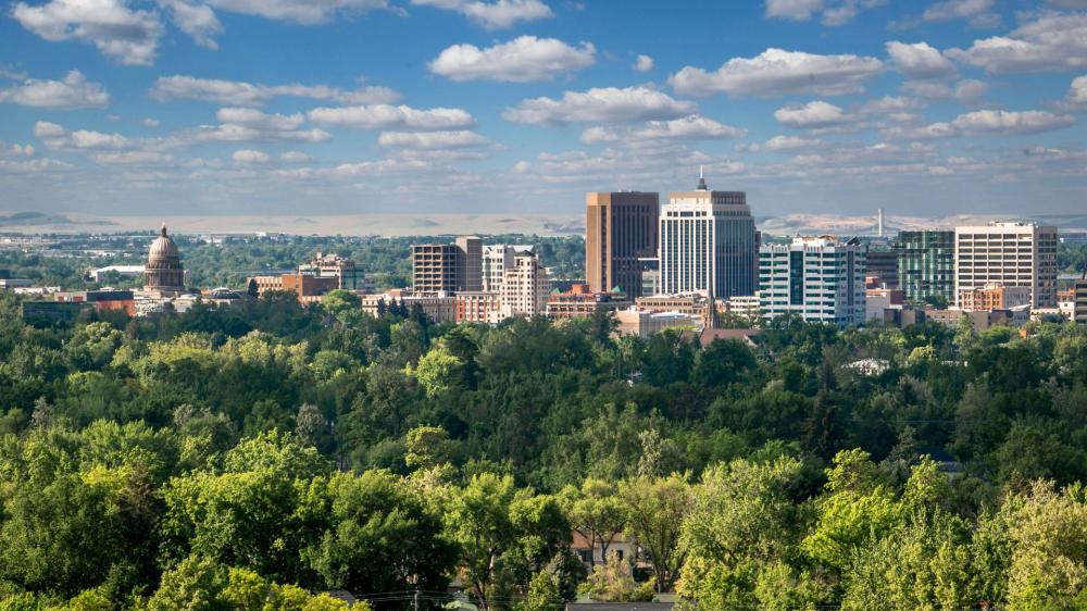
Set east of Twin Falls on the fertile Snake River Plain, Kimberly sits at a crossroads of rugged canyonlands, agricultural heritage, and surprising artistry. The surrounding terrain seems quiet at first glance—broad fields, wind-carved escarpments, and blue skies that stretch on for counties. Look closer, and the landscape unfurls a fascinating roster of parks, historic homesteads, lava-laced caves, scenic overlooks, and vibrant local institutions. Each outing layers a different texture onto this pocket of southern Idaho, revealing why the area rewards curiosity and unhurried exploration.
Snake River Landmarks and Canyon Vistas
The Snake River Canyon carves a dramatic chasm north of town, offering overlooks that drop into a mosaic of basalt, sage, and shimmering water. First-time visitors often begin at Shoshone Falls, where a broad cataract spills into a rugged amphitheater. The adjacent rim trail yields evolving perspectives of the canyon’s geology, with benches and pullouts for lingering. To the west, the Perrine Bridge vaults across the gorge in a graceful arc. People come for the view; they stay for the sound of wind moving through steel and stone. Farther along, Pillar Falls hides in plain sight, best appreciated from established viewpoints on the north rim or guided access that aligns with river conditions. Centennial Waterfront Park at the canyon’s base serves as a gentle gateway to this monumental corridor, where reflections stretch long at dusk and canyon walls glow with copper and rose tones.
Historic Corridors and Heritage Sites
History threads through the countryside in enduring, sometimes understated ways. The Rock Creek Station and Stricker Homesite near Hansen preserves a stage stop that once anchored regional travel. A quiet walk there conveys the grit of early settlement—sage-fragrant winds, timbered structures, and interpretive paths connecting past and present. In Oakley’s Historic District to the southeast, beautifully crafted stone and brick buildings exhibit frontier craftsmanship and an eye for symmetry. Albion’s former normal school campus—now a preserved historic complex—adds a collegiate chapter to the story, its stately architecture standing against broad valley light. To the north, the Jerome County Historical Museum collects everyday objects that tell outsized tales: farm implements, photographs, and the kind of vernacular treasures that speak more clearly with time.
Trails, Springs, and South Hills Escapes
South of Kimberly, the Cassia Division of the Sawtooth National Forest rises into rolling high country known as the South Hills. The drive along Rock Creek Road feels like a gradual exhale, trading farmland for aspen, pine, and craggy outcrops. Ross Falls tumbles in a cool, shaded nook; the trail offers a family-friendly amble and a welcome splash of mist in warm months. Independence Lakes beckon hikers with mirrored basins tucked beneath ridgelines, while Diamondfield Jack sites and signage evoke tales from the area’s frontier era. Closer to town, Murtaugh Lake spreads out like a quiet blue plate, ringed with shorelines that attract birds and early-morning anglers.
Avenues of Water: Springs, Islands, and Fossil Stories
The Hagerman Valley holds a different kind of drama—more pastoral, but no less intriguing. Thousand Springs State Park unfolds across multiple units, each showcasing emerald discharges spilling from canyon walls. Ritter Island rests mid-river like a verdant punctuation mark, while nearby Box Canyon Springs Preserve offers crystalline water emerging from bedrock in sudden abundance. Down the road, Niagara Springs creates a frothy curtain framed by basalt shelves. The region’s fossil beds add another layer, with cliffs that have yielded significant paleontological finds; together, they underscore how water has choreographed life here for ages.
Caves, Lava, and Desert Botanicals
To the north, fields yield to open country and volcanic features. The Shoshone Ice Caves and nearby lava tubes present a subterranean world of chilled chambers and glassy rock; guided experiences are common and recommended for safety. West of Twin Falls, Balanced Rock tilts improbably over a desert ravine, a natural totem set against sage and sky. For a quieter botanical interlude, the Orton Botanical Garden in Twin Falls highlights hardy, water-wise species, a living study in adaptation that thrives beneath intense sun and sparse rainfall.
Culture, Astronomy, and Community Hubs
Learning and culture thrive at the Herrett Center for Arts and Science on the College of Southern Idaho campus, where exhibitions range from anthropology to regional art. The adjacent Faulkner Planetarium draws stargazers who appreciate narrative-rich shows and a domed journey through constellations. Across the river, the Twin Falls downtown district blends galleries, bakeries, and independent shops—ideal for an afternoon stroll after time in the canyon. In surrounding towns, seasonal markets and small festivals offer a handshake with local growers, ranchers, and makers.
Tastes of the Valley: Markets and Small-Town Flavor
This valley knows its produce. Roadside stands brim with fruit in late season, and local bakeries lean into time-tested recipes. Coffeehouses tucked into side streets send up the warmth of freshly roasted beans, while eateries reinterpret regional staples with flair. The joy lies in pairing an outdoor excursion with a simple, memorable meal—fresh bread, stone fruit, and a view over alfalfa fields or river bends.
Notable Places to Find and Pick for Your Itinerary
- Shoshone Falls and the Canyon Rim Trail for sweeping geology and water-driven spectacle
- Perrine Bridge and Centennial Waterfront Park for grand architecture and river-level perspectives
- Pillar Falls viewpoints for a hidden-feeling marvel within the canyon corridor
- Rock Creek Station and Stricker Homesite for a tangible chapter of overland history
- Oakley Historic District and Albion’s historic campus for architecture-lovers
- South Hills: Ross Falls, Independence Lakes, and Diamondfield Jack sites for alpine-leaning day trips
- Murtaugh Lake for calm water and sunrise solitude
- Thousand Springs State Park units: Ritter Island, Box Canyon Springs, and Niagara Springs for vibrant aquamarine scenes
- Balanced Rock for a desert oddity with wide-angle vistas
- Shoshone-area lava tubes and ice caves for subterranean intrigue
- Orton Botanical Garden for xeric beauty and native plant insight
- Herrett Center and Faulkner Planetarium for curated culture and astronomy
- Downtown Twin Falls for walkable blocks, galleries, and cafés
Practical Pairings and Suggested Routes
Craft days that braid texture—canyon, culture, cuisine. Begin with an early stop at Shoshone Falls to catch slanting light on the mist, then traverse the rim toward Perrine Bridge for a different angle on the gorge. Break in Twin Falls for lunch and a gallery browse, then drive south toward the South Hills for an afternoon hike beneath aspens. On another day, set a loop through the Hagerman Valley, visiting Ritter Island and Box Canyon Springs before settling by the river as evening colors deepen. For a geology-focused outing, combine Balanced Rock with a guided lava tube visit, then wind down in a garden where desert flora steal the show.
Seasonal Nuance and Insider Timing
Timing matters. Spring often coaxes vividity from canyon vegetation, while autumn paints agricultural lands in warm gradients. Early morning and late afternoon soften light for photography and comfort on open trails. Midweek visits can reduce congestion at marquee viewpoints. In cooler months, the South Hills can offer hushed forests and crisp air, inviting slower, contemplative walks and birdwatching.
Conclusion: A Landscape That Rewards Curiosity
Around Kimberly, discovery happens at the intersection of land and story—where water cuts basalt, homesteads hold their ground, and stars wheel above a horizon uncluttered by high-rise silhouettes. Build an itinerary that leaves room for detours and serendipity. The area’s enduring appeal lies in layers—canyon rims and farm roads, historic districts and springs that seem to appear from stone. Each place you find and pick amplifies the next, composing a journey that feels both grounded and expansive.
Landmarks and Natural Splendor Around Kimberly, Idaho 83341
• Cradled in the Magic Valley just east of Twin Falls, the community of Kimberly serves as a serene launch point for excursions across the Snake River Canyon country, where basalt cliffs, fertile fields, and crystalline springs define the terrain and set the stage for a day of exploration without the bustle
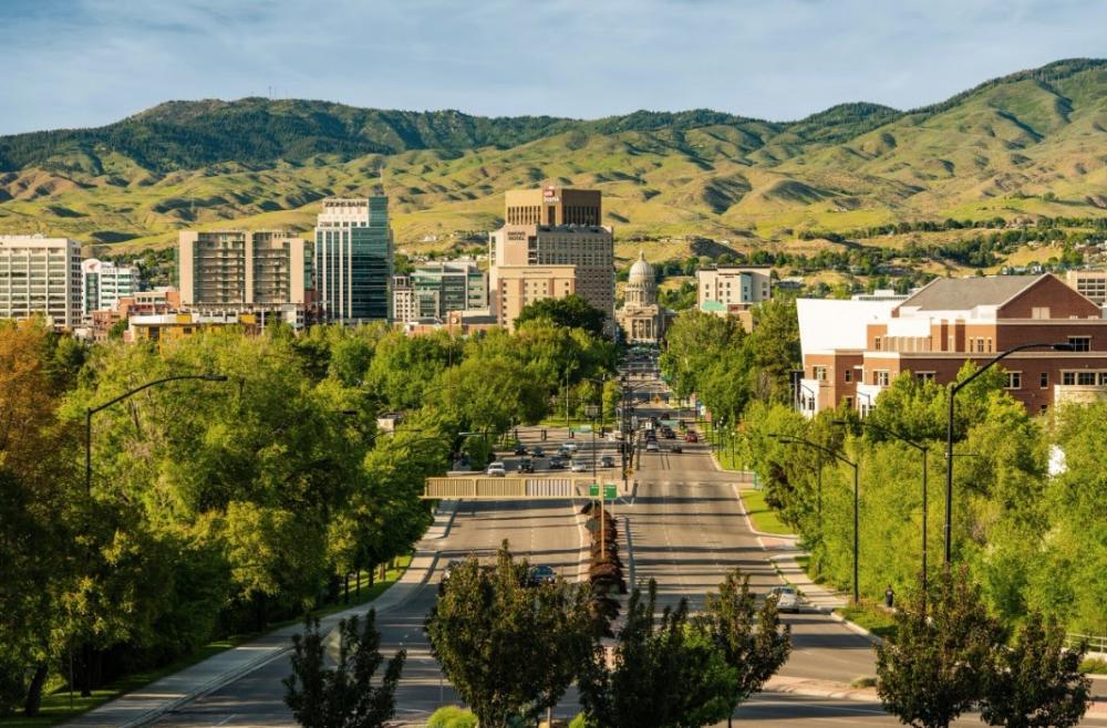
• Shoshone Falls Park, often called the Niagara of the West, rises in a thundering cascade when flows are healthy, delivering misty rainbows, cliffside overlooks, and a palpable sense of scale, from the primary viewpoints you can trace the river’s sweep as it bends through the canyon, notice how seasonal runoff changes the tone of the falls, and explore adjacent interpretive panels that outline the region’s hydrology and settlement
• A short hop from the falls lies Dierkes Lake, a favored enclave for swimming, paddlecraft, and shoreline rambling, a loop trail rises above the water to modest bluffs where you can spot raptors riding thermals and survey lava outcrops pocked by ancient bubbles, in late afternoon the lake’s mirror reflects rose and amber hues that photographers covet
• Westward along the rim, the Snake River Canyon Rim Trail threads parks and viewpoints, a mosaic path where cyclists, joggers, and contemplative strollers share the expanse, pause at the Twin Falls Visitor Center outlook to absorb a wide tableau of river, bridge, and canyon, then continue for shifting perspectives that reveal how irrigation and geology shaped the valley’s patchwork
• Spanning the chasm, the Perrine Bridge commands attention with sweeping steel arches, you can watch BASE jumpers step into the void on fair days, parachutes blooming beneath the deck, while below, Centennial Waterfront Park anchors kayak put ins, zipline corridors, tour boats, and picnic greens tucked beneath the basalt walls that glow gold at sunset
• To the east of Kimberly, the Hansen Bridge offers a quieter vantage across the canyon, the approach reveals working farms, pivot irrigation arcs, and the shift from town grid to open range, pullouts provide photo ops where the river’s serpentine channel feels intimate compared to the bustle near the Perrine Bridge
• Historic Downtown Twin Falls, a few minutes from Kimberly, layers early twentieth century storefronts with contemporary eateries, galleries, and street art, look for murals tucked along alleys, take in regional cuisine that leans on Snake River trout, Idaho potatoes, and dairy from nearby creameries, and browse boutiques that showcase local artisans
• Rock Creek Canyon Park unspools a green corridor just south of downtown, willows and cottonwoods lace the creek, stone bridges texture the setting, and trails weave under shady canopies, birders find nuthatches, flickers, and occasional herons, while families favor the open lawns and playgrounds for unhurried afternoons
• Farther afield yet reachable for a satisfying day trip, Thousand Springs State Park displays aquamarine seeps that spill from canyon walls, with Ritter Island hosting mellow paths and pastoral river views, the springs originate in distant highlands and percolate through ancient lava, reappearing as liquid lace that turns cliff faces into living tapestries
• When summer heat wanes, the South Hills south of Kimberly beckon with aspen groves, wildflower meadows, and cool elevations, hikers and dispersed campers find respite along forest roads that meander toward Magic Mountain, in winter the same high country trades lupine for powder, inviting alpine and Nordic pursuits in a compact, family friendly setting
• Throughout these landscapes, the throughline is geological drama meeting agrarian ingenuity, basalt benches hold the memory of fire, the river carves and nourishes in equal measure, and towns like Kimberly provide the calm cadence between adventures, allowing visitors to stage early departures and return to quiet streets as starlight settles over irrigated fields
Notable Places to Discover in Kimberly, ID, 83341 — A Curated Guide to the Magic Valley
Discovering Kimberly, ID 83341: Landmarks, Nature, and Culture
Introduction to the Magic Valley Setting
Anchored on the fertile plain east of Twin Falls, Kimberly, ID 83341 sits within easy reach of canyon overlooks, spring-fed oases, and storied historic sites. The surrounding Magic Valley unfolds in dramatic contours, where basalt cliffs cradle the Snake River and ancient pathways intersect with modern community life. The area rewards the curious with a blend of panoramic scenery, intimate trails, and interpretive centers that frame a deeper story of geology, settlement, and ongoing stewardship.
Snake River Canyon and Rim Vistas
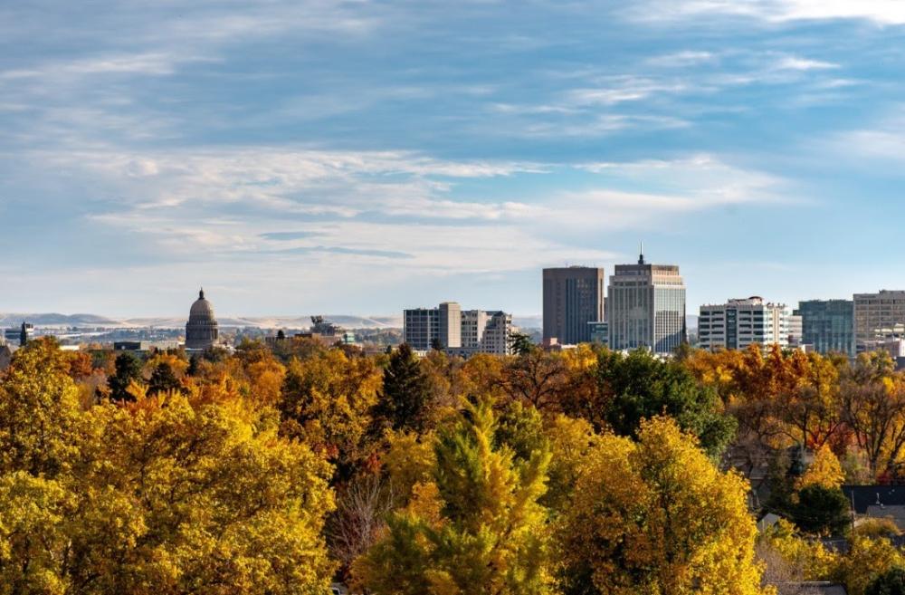
The Snake River Canyon carves an unmistakable corridor through the landscape. From certain overlooks, the waterway appears as a sinuous ribbon glinting beneath dark rock ramparts. Rim paths offer sweeping sightlines and the opportunity to observe raptors riding thermals or kayakers threading eddies below. Late-day light casts a warm, honeyed hue on the cliffs, and the silence can feel cathedral-like. Bring a camera, but pause often; the scale is best absorbed in moments of stillness.
- Snake River Canyon Rim Trail
- Perrine Bridge Overlook
- Centennial Waterfront Park
- Evel Knievel Jump Site
- Auger Falls Heritage Park
Waterfalls, Springs, and Lakes
The valley’s hydrology is its marvel. Water emerges from volcanic aquifers and tumbles over canyon walls or wells up in crystalline pools. At certain cascades, mist carries a faint mineral scent while rainbows flicker through the spray. Elsewhere, spring creeks run impossibly clear, sheltering aquatic plants that sway like green silk.
- Shoshone Falls
- Dierkes Lake Park
- Thousand Springs State Park — Ritter Island
- Box Canyon Springs Preserve
- Pillar Falls Trailhead
Trails, Parks, and Open Country
Beyond the river corridor, the high desert and foothills invite exploration. Trails switchback through juniper and sage, revealing vistas of patchwork farms and far-off buttes. In the South Hills, alpine pockets surprise with shaded glens and a cool hush. Along basalt outcrops, look for petroglyphs only in designated viewing areas and respect closures that protect fragile surfaces. The terrain varies widely—lava flows, riparian corridors, and rolling grasslands—so footwear and water planning matter.
- Ross Falls in the South Hills
- Rock Creek Canyon Park
- Little City of Rocks
- Balanced Rock and Balanced Rock Park
- Jensen Grove pathways along the river in nearby communities
History, Heritage, and Interpretation
The region’s human story deepens the sense of place. Roadside markers and curated sites interpret migration routes, homesteading, and the profound consequences of wartime policy. At one preserved ranch and stage stop, cabins and exhibits recount the rigors of overland travel and early agricultural enterprise. Museums in neighboring towns gather artifacts that speak to self-reliance and ingenuity—tools worn smooth with use, ledger books chronicling harvests, maps annotated by hand.
- Rock Creek Station and Stricker Homesite
- Hagerman Fossil Beds National Monument (visitor facilities and overlooks)
- Minidoka National Historic Site (interpretive exhibits and grounds)
- Jerome County Historical Museum
- Shoshone Ice Caves guided area and shop
Arts, Learning, and Community
Cultural venues add texture to any itinerary. On the College of Southern Idaho campus, galleries and a planetarium weave art, anthropology, and astronomy into accessible showcases. The surrounding town centers host seasonal markets and public art, fostering a sense of conviviality. A xeric botanical garden illustrates waterwise planting with an eclectic collection of desert-adapted specimens, useful for gardeners curious about resilient landscapes.
- Herrett Center for Arts and Science
- Faulkner Planetarium
- Orton Botanical Garden
- Downtown Twin Falls Commons and plaza area
- Local farmers markets and community greenbelts
Day Trips Across the Valley
Those willing to range farther encounter geological curiosities and pastoral scenes in equal measure. Driving westward reveals trout-rich waterways, island-like springs, and ranchland framed by rimrock. To the south, granite fins and monoliths draw climbers and photographers, while hot pools along the river corridor offer restorative soaks beneath open sky. These excursions exemplify the region’s variety—wild, cultivated, and historic landscapes coexisting within a short radius.
- City of Rocks National Reserve
- Miracle Hot Springs area
- Ritter Island dairy heritage area within Thousand Springs
- Box Canyon overlook and trails
- Malad Gorge viewpoints and bridges
Seasonal Nuance and Practical Perspectives
Timing shapes the experience. In spring, waterfalls surge and canyon vegetation brightens with ephemeral blooms. Summer invites early starts, shaded picnics, and water-centric outings. Autumn brings crisp air and russet tones along cottonwood stands, perfect for photography or contemplative walks. Winter reduces the crowds and heightens the stark beauty of basalt, ice, and low, angled light.
A few pragmatic notes elevate each outing. Trailheads near the canyon can fill early; patience and flexibility help. Wind shifts quickly on exposed rims, so layered clothing proves wise. Cell service may waver in canyons and foothills, making offline maps and clear rendezvous plans valuable. Where wildlife corridors intersect with roads, slow speeds and vigilance are essential, especially at dawn and dusk.
Connecting Place to Experience
Kimberly’s location functions as a quiet launchpad to this spectrum of destinations. Begin with an overlook to calibrate your sense of scale. Add a spring or waterfall to witness the valley’s lifeblood. Round out the day with an interpretive stop that anchors the scenery in human narrative. A final amble through a garden or downtown plaza returns the pace to unhurried conversation. This cadence—view, move, learn, linger—turns a simple drive into a memorable circuit.
The area around Kimberly, ID 83341 rewards repeat visits. Each return reveals something overlooked: the stratigraphy of a cliff face after fresh rain, the sudden whirr of wings flushing from riparian grass, or the hush that settles when the canyon wind pauses. Explore with care, tread lightly, and let the Magic Valley’s varied textures tell their story.
Notable Places to Find and Pick Around Kimberly, ID, 83341
Exploring the Canyon Country Heartland
From the quiet lanes of Kimberly, ID, 83341, the landscape unfolds into canyon rims, spring-fed oases, and storied homesteads. The area balances rugged geologic drama with tranquil parks and cultural anchors, offering short drives to scenic overlooks, historic sites, and nature preserves. This guide highlights a curated set of spots—close enough for a spontaneous afternoon, layered enough for a full day of discovery.
Snake River Canyon Icons
Few vistas imprint on memory like the rim of the Snake River Canyon. Standing at the Perrine Bridge, the expanse of basalt walls and the whisper of the river far below feel monumental. Sunrise throws a warm sheen on the steel arch; late afternoon turns the canyon into a chiaroscuro study. The bridge vicinity links to the Snake River Canyon Rim Trail, rewarding walkers and cyclists with sweeping perspectives and the occasional glimpse of hawks riding thermals. Down-canyon, Auger Falls Heritage Park and Pillar Falls reveal the river’s quieter complexion—terraced channels, polished boulders, and pocket trails that settle into peaceful coves.
Water, Stone, and Motion
Shoshone Falls Park is the headline act, yet the appeal extends beyond a single overlook. The basalt amphitheater and thundering cascade shape a microclimate, inviting mist-loving plants to cling to cliffs. Dierkes Lake Park, just up the grade, trades roar for repose. Families drift to pebble shores, divers test their nerve on volcanic ledges, and birders scan for swallows sewing quick arcs across the water. Bring sturdy shoes for the loop path; its detours reward with unexpected vantage points of both lake and canyon. For a different rhythm, Balanced Rock Park frames a serenely flowing stream beneath a gravity-defying monolith—an ideal spot to linger under cottonwoods and puzzle over nature’s balancing act.
Heritage, Memory, and Local Storytelling
The region preserves its frontier and wartime narratives with care. At Rock Creek Station and Stricker Homesite, weathered structures and interpretive paths conjure the era when wagon ruts stitched this valley into broader trade routes. The place breathes with lived-in detail—stone foundations, heirloom orchards, and the quiet hush of sage in the breeze. To the north, Minidoka National Historic Site compels a more solemn reflection. Its windswept grounds and exhibits illuminate resilience amid upheaval, prompting conversations that echo long after the visit. Pair these sites for a day that balances contemplation with context.
Springs, Islands, and Emerald Corridors
Thousand Springs country along the Snake unfurls a chain of crystalline seeps, turquoise pools, and chalk-white outflows. Box Canyon Springs Preserve invites a shaded walk along a jewel-toned stream, the canyon walls stippled with vegetation. Nearby, the Ritter Island unit blends pastoral charm with aquatic spectacle—emerald channels, gentle footpaths, and a low-key serenity that resets the pace of the day. On cooler mornings, mist hanging above the water lends the impression of a landscape half-dreamed, half-remembered. For those seeking a restorative interlude, Miracle Hot Springs provides a thermal pause surrounded by willows and star-pricked skies after dusk.
South Hills Retreats
South of town, the hills rise into a highland of quaking aspen, lodgepole pine, and whimsical rock formations. Magic Mountain Ski Area delivers cozy winter turns and breezy summer trail access, the slopes doubling as wildflower meadows when the snow recedes. The Ross Falls Trail curls through shaded ravines to a veil-like cascade, where mosses thrive and the air carries a cool hush. Farther along the ridges, Teepee Rocks presents a surreal cluster of hoodoo-like spires—an open-air gallery sculpted by time and weather. These routes suit unhurried exploration: pack layers, watch the shifting light, and listen for woodpeckers drumming in the timber.
Museums, Night Skies, and Native Flora
Cultural and scientific stops round out the itinerary. The Herrett Center for Arts & Science, coupled with the Faulkner Planetarium, layers regional anthropology, paleontology, and celestial programming into one campus. Exhibits thread local stories to global timelines, and the dome theater evokes the awe of a clear, high-desert night. Closer to the ground, Orton Botanical Garden assembles drought-tolerant flora into an instructive landscape—cacti blooming against basalt rubble, penstemons lighting up pathways, and interpretive notes that help translate desert botany for home gardeners. Finish in historic downtown Twin Falls to walk murals and storefronts that mirror the region’s mix of grit and grace.
Quick Picks Near Kimberly
- Shoshone Falls Park
- Perrine Bridge and Snake River Canyon Rim Trail
- Dierkes Lake Park
- Auger Falls Heritage Park
- Pillar Falls
- Rock Creek Station and Stricker Homesite
- Box Canyon Springs Preserve
- Thousand Springs State Park – Ritter Island
- Balanced Rock Park
- Magic Mountain Ski Area
- Ross Falls Trail
- Minidoka National Historic Site
- Hagerman Fossil Beds National Monument
- Miracle Hot Springs
- Orton Botanical Garden
- Herrett Center for Arts & Science and Faulkner Planetarium
Practical Pairings and Day Plans
Curate outings by theme to deepen the experience. Combine canyon-rim viewpoints with a descent to riverside parks for a full sense of scale: start with the Perrine Bridge outlook, follow the paved rim path, then drop to Centennial Waterfront Park to feel the canyon’s cool microclimate. For water-centric days, link Dierkes Lake’s accessible shoreline with the quieter channels of Auger Falls, then close with sunset at Shoshone Falls. History-forward excursions can sequence the Stricker Homesite’s homesteading narrative with Minidoka’s powerful testimony, allowing time for quiet reflection between stops. If the forecast leans hot, retreat to Thousand Springs’ shaded riparian corridors or soak in a calm pool where steam rises gently and conversation softens.
Seasonal Nuance and Local Rhythm
The Magic Valley rewards timing and patience. Early spring hikes catch arrowleaf balsamroot flaring gold on canyon slopes; late summer evenings often bring glassy river reaches perfect for contemplative walks. Autumn lights the South Hills in copper and amber, while winter lends alpine hush to Magic Mountain’s glades. Regardless of season, carry water, respect posted access points, and tread lightly where soil crusts and fragile plants anchor the desert. The landscapes around Kimberly hold both grandeur and intimacy—grand vistas one moment, a single lupine or basalt petroglyph-like pattern the next. Move at a measured pace, look closely, and let the terrain reveal its layers.
Notable Places to Find and Pick around Kimberly, ID 83341
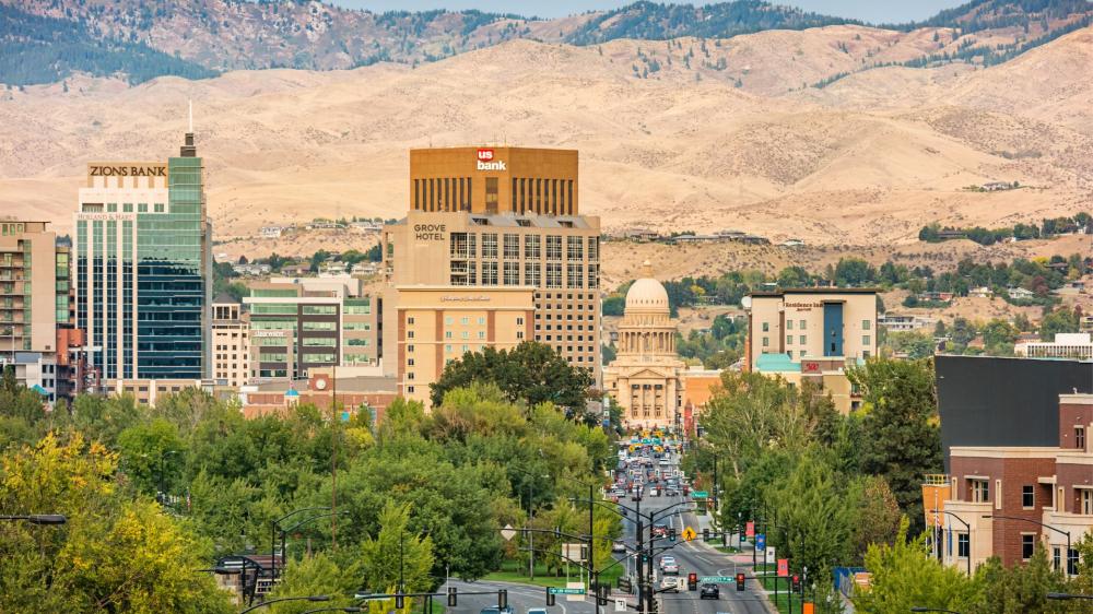
River-carved vistas, storied homesteads, and basalt amphitheaters define the landscape around Kimberly. The surrounding corridor unfolds with remarkable diversity—quiet lakes and cataract roar, sagebrush plateaus and irrigated orchards, museum galleries and pale canyon trails. The area invites both deliberate exploration and spontaneous detours, encouraging a pace that rewards curiosity.
Snake River Canyon: Rim, Waterfalls, and Aerial Grandeur
The Snake River Canyon frames the region with dramatic edges and a constant, moving horizon. Shoshone Falls Park delivers a powerful tableau, where mist tells its own weather and rainbows flash in shifting light. Upstream, the tranquility at Dierkes Lake contrasts beautifully with the nearby cascade—clear water, rimrock reflections, and a loop trail stitched with volcanic textures. The Perrine Bridge towers over the canyon, a place where spectators watch the ballet of wind and steel as adventurers leap into the void on certain days. Centennial Waterfront Park below provides water access, shaded lawns, and a front-row seat to the river’s temperament. Farther along, Auger Falls Park and Pillar Falls present a labyrinth of boulders, chutes, and informal lookouts, rewarding those who favor slower, exploratory walks.
Parks and Lakes for Leisurely Wandering
On placid mornings, Murtaugh Lake glimmers east of town, bordered by reeds and farmland. Anglers, birders, and picnickers share the shoreline with paddlers gliding past low-slung islands. Rock Creek Park winds through a basalt ravine, surprisingly lush in late spring, with stonework bridges and quiet nooks tucked beneath cottonwoods. For a botanical interlude, Orton Botanical Garden in Twin Falls showcases waterwise plantings and desert blooms, especially captivating when the light is low and petals read like stained glass. The area’s parks combine approachable amenities with immersive scenery, ideal for families or travelers seeking gentle rhythm.
History and Heritage in the Valley
Local history reveals itself in modest yet evocative places. The Twin Falls County Historical Museum at the Rock Creek Station and Stricker Homesite near Hansen preserves a historic waystation and homestead complex. Scattered artifacts, pioneer stories, and century-old structures illuminate how the region’s communities knitted themselves together against wind and distance. Jerome County’s historical exhibits, just across the river, complement the narrative with photographs and everyday objects, subtle but resonant. Out on the canyon’s rim near the Hansen Bridge, the span itself whispers of engineering grit and the persistent will to connect. Each site adds a plank to the interpretive boardwalk of the valley, inviting thoughtful pauses rather than quick checkmarks.
Science, Art, and Skyward Wonder
At the Herrett Center for Arts and Science on the College of Southern Idaho campus, galleries mingle anthropology, astronomy, and regional art. The adjoining planetarium sweeps visitors through immersive night skies, a stellar primer before heading into the South Hills for actual stargazing. The center anchors a cultural triangle with local studios and seasonal exhibits throughout Twin Falls, where makers and curators showcase work shaped by basalt and big weather. These stops counterbalance outdoor exertions with cerebral, contemplative hours—ideal when the wind rises on the rim or rain dapples canyon paths.
South Hills, Basalt Arches, and Uncommon Formations
South of Kimberly, the South Hills unfold in rolling waves of aspen pockets, conifer stands, and open meadows. This high country offers cool refuge in warm months and hushed, powdery scenes in the cold season. Trail systems range from brief outlooks to ambitious routes; deer flit through sage, and hawks patrol thermals. Westward, Balanced Rock near Castleford teeters improbably above wind-sculpted columns, a roadside marvel that begs a linger. Thousand Springs State Park, stretching along the river corridor, stitches together watery enclaves including Ritter Island and Niagara Springs—emerald upwellings, mossy cliffs, and cold, crystalline flow. Box Canyon Springs, in a neighboring gorge, offers an aquamarine pocket world where the water’s clarity feels otherworldly. Each site speaks a dialect of stone and spring unique to this part of Idaho.
Caves, Lava Fields, and the Quiet Underworld
North of the valley floor, the Shoshone Ice Caves present an unusual encounter with subterranean chill beneath an otherwise sunlit plain. The volcanic corridors and collapsed tubes across the region hint at a geologic saga—fire transformed to glassy rock, and then to the alcoves and arches that define the surface today. Exploring these areas fosters an appreciation for the deep time that forged the canyon walls and the black, vesicular rocks lining everyday trails.
Day Trips and Far Horizons
For an ambitious day on the road, the City of Rocks National Reserve and neighboring Castle Rocks State Park introduce a granitic dreamscape of finned spires, climbers tracing lines up pale domes while hikers meander among junipers. South and west, Salmon Falls Creek Reservoir lies in a wider, windswept basin where shorelines unfold into coves and sage-scented bluffs. Malad Gorge to the north slices unexpectedly through farmland, a ribbon of chasm crossed by highway yet best appreciated from quiet overlooks. These drives expand the sense of place beyond city grids into terrain that feels both rugged and refined.
Must-Find and Pick: A Curated Shortlist
- Shoshone Falls Park
- Dierkes Lake
- Perrine Bridge and Centennial Waterfront Park
- Auger Falls Park
- Rock Creek Park
- Orton Botanical Garden
- Hansen Bridge Overlook
- Twin Falls County Historical Museum at Rock Creek Station and Stricker Homesite
- Thousand Springs State Park (Ritter Island and Niagara Springs)
- Box Canyon Springs
- Balanced Rock
- South Hills and high-country trails
- Herrett Center for Arts and Science
- Murtaugh Lake
- Pillar Falls
Seasonal Nuance and Practical Flow
Weather shapes experience here. Spring lends green saturation to canyon floors and coaxes desert blooms into brief, flamboyant shows. Summer mornings deliver the softest light on rim trails and the least wind along lake edges; afternoons favor shade-dappled parks or gallery visits. Autumn sharpens the air and gilds cottonwoods, perfect for photographic rambles or long, contemplative drives to the state park units. Winter draws quiet over the landscape, yet the South Hills offer serene snowbound scenes and the river canyon remains imposing and beautiful.
Local Etiquette and Stewardship
Respect for the land enhances every outing. Stay on established paths to protect cryptobiotic soil and fragile plants clinging to basalt shelves. Pack out litter, and give wildlife generous space. At busy overlooks, share the view; the canyon belongs to everyone who treats it with care. Water is a precious resource in the valley—conserving it and observing posted guidance at springs and riparian zones preserves these marvels for future wanderers.
The area around Kimberly invites a medley of experiences—roaring cataracts, meditative lakes, intimate museums, and far-flung stone cathedrals. Move slowly, let the light change, and collect moments across the canyon’s brim and beyond. The terrain rewards attention, turning side roads into revelations and well-trodden parks into never-the-same places, every time.
Notable Destinations Near Kimberly, ID 83341
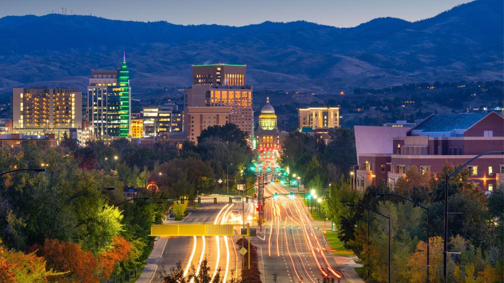
• Carved by the Snake River’s immense force, Shoshone Falls Park unfurls a grand amphitheater of basalt cliffs and thundering cataracts just northwest of Kimberly. Often called the Niagara of the West, the falls showcase seasonal drama as spring runoff surges over the rim in a silvered curtain. Scenic overlooks present layered perspectives of the canyon’s geology, where columnar basalt and ancient lava flows reveal a volcanic lineage. Visitors amble the rim pathways, pausing for photographs as mist casts ephemeral rainbows and raptors wheel on updrafts above the plunge pool
• Adjacent to the falls, Dierkes Lake provides a sheltered counterpoint to the river’s dynamism. The lake’s crystalline shallows invite paddle boards and kayaks, while a perimeter trail threads through lava rock gardens and sagebrush swales. Families gravitate to picnic terraces and a small beach, and divers explore submerged formations created by historic lava activity. In late afternoon, the escarpments glow with honeyed light, and anglers test the reed-fringed coves for a quiet catch
• Stretching along the canyon rim, Centennial Waterfront Park is a tapestry of viewpoints, launch sites, and switchback trails descending toward the river. Outfitters guide paddle excursions beneath canyon walls etched with lichens and timeworn seams. Spring brings a chorus of meadowlarks along the benches, while autumn repaints the cottonwoods in ochre and amber. From several perches, you can trace the elegant arc of the Perrine Bridge, a steel span that has become both an engineering icon and a gathering point for spectacle
• The Perrine Bridge itself, vaulting 486 feet above the Snake River, commands attention. BASE jumpers in bright wingsuits transform the sky into a kinetic gallery as they step from the railings and parachute to the valley floor. Pedestrian walkways along the bridge offer exhilarating views, while interpretive panels describe the Snake River Plain’s formation, the canal systems that fostered settlement, and the region’s agricultural rhythms that still shape everyday life across Kimberly and Twin Falls
• Tucked within Twin Falls, the Orton Botanical Garden presents a living study in high-desert horticulture. Hardy cacti, succulents, and drought-wise perennials thrive in artful beds, illustrating how texture, color, and silhouette can reimagine a landscape. Garden paths lead to thoughtfully labeled specimens, making the experience part promenade, part primer, and wholly tranquil. In winter, sculptural yuccas and evergreen junipers lend structure; in spring, rare blooms punctuate the gravel with saturated hues
• For an encounter with science and sky, the Herrett Center for Arts and Science at the College of Southern Idaho hosts rotating exhibits and a planetarium. Visitors drift from anthropological artifacts to celestial shows that chart the constellations wheeling above the Snake River Plain. Educational programs deepen local understanding of paleontology, archaeology, and regional natural history, while the center’s galleries spotlight artistry that resonates with the canyon’s contours and the basalt’s inky palette
• Rock Creek Canyon, a quieter tributary to the Snake, threads through shaded draws and basalt alcoves. Its greenway trails invite sunrise jogs and contemplative strolls, with footbridges spanning riffled water and cottonwoods whispering overhead. Picnic spots are nestled into the bends, and birders find year-round avian intrigue from kingfishers to migrating warblers. The creek’s steady cadence provides a meditative complement to the drama upriver
• Beyond the canyon, the Thousand Springs area and Ritter Island reveal a lattice of turquoise seeps pouring from cliff faces fed by the vast aquifer beneath the Snake River Plain. Short trails skirt crystalline outflows and historic farmsteads, while interpretive signs explain how subterranean hydraulics and ancient lava tubes deliver these improbable cascades. It is a place where geology, hydrology, and human tenacity converge in a serene, almost otherworldly tableau
• In Kimberly itself, neighborhood parks and tree-lined avenues frame views east to the South Hills, whose aspen groves and sage plateaus change mood with the seasons. Day trips to the foothills yield pockets of wildflowers, as well as gravel roads that lift you into cooler air and sweeping overlooks of the plain. The interplay between cultivated fields, canal-cut grids, and volcanic remnants gives this corner of Idaho its distinctive visual cadence and sense of place
• Whether you favor adrenaline along the rim or quiet reflection by a spring-fed pool, the environs around Kimberly reward unhurried exploration. Each vantage point tells a chapter of the region’s saga, from basaltic birth to river-burnished present, inviting return visits as light, water, and seasons rearrange the panorama
Notable Places to Find and Pick Around Kimberly, ID 83341
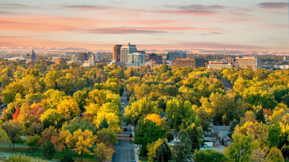
Rim and River — The Snake’s Sculpted Corridor
Kimberly sits close to a corridor carved by the Snake River, where basalt cliffs, ribboning trails, and lofty viewpoints define the landscape. The canyon’s rim trails offer sweeping vistas that change with the light, turning rugged walls into a shifting palette of shadow and glow. The Snake River Canyon Rim Trail unwinds along the edge with access points near bridges and parks, revealing overlooks where hawks wheel on thermals and rivercraft move like quiet punctuation far below. Pause at the Perrine Bridge area to watch the steady ballet of movement across the span and, if you’re fortunate, observe daring silhouettes rising and falling against the sky. Centennial Waterfront Park provides a green gateway into the canyon, with pathways that meander along the water and lead to pockets of calm where you can hear the river’s low murmur.
Waterfalls and Spring-Fed Oases
This part of the Magic Valley is renowned for water that seems to appear from stone. Shoshone Falls roars in a towering curtain during peak flows and settles into a meditative veil later in the season, always powerful, always photogenic. Nearby, Dierkes Lake offers a different tempo—tranquil water hemmed in by lava rock, with easy loops and secluded coves. Follow the canyon downstream to Auger Falls Heritage Park, where a lattice of trails crosses sagebrush benches and drops toward the river, revealing pockets of riparian shade and sculpted rock. Farther along the springs belt, Niagara Springs tumbles in icy-blue sheets beneath a cliff face, while Box Canyon Springs Preserve unveils cobalt pools and a crystalline thread of water that slices through a deep, secretive cleft.
Canyons, Trails, and Quiet Parks
Beyond the headline sights lies a network of quieter spaces. Pillar Falls hides in a corridor of boulders where the river braids and eddies. The approach can be sandy, the footing uneven, yet the reward is a labyrinth of channels and polished stone. Murtaugh Lake Park, east of Kimberly, offers windswept views and glassy dawn reflections, drawing anglers, paddlers, and birders with its open horizons. Balanced Rock and the adjoining park near Castleford create an improbable scene: a teetering monolith crowning a pocket canyon filled with shade trees and picnic nooks. Up in the South Hills, trails to Ross Falls and forest clearings near Magic Mountain trade canyon drama for cool air, wildflowers, and the soft hush of aspen leaves moving in a breeze.
History Rooted in the Prairie
History feels close to the surface around Kimberly. The Rock Creek Station and Stricker Homesite, just west of town, preserves an important junction of travel and trade on the emigrant corridor. Weathered outbuildings and interpretive paths give a sense of persistence on the frontier, where supply lines, hospitality, and grit coalesced. In nearby towns, small museums and historic districts reveal the patchwork of irrigation, rail, and ranching that shaped settlement. Wander older main streets to find brick facades, vintage marquees, and artful murals that speak to a community identity forged by river, basalt, and big sky.
Farmland, Orchards, and Small-Town Flavor
Kimberly’s surroundings are a mosaic of fields, canals, and farmsteads. Seasonal stands and u-pick orchards brim with regional produce—stone fruit, apples, berries, and late-summer vegetables—showing how the valley’s volcanic soil and steady sunshine nurture flavor. Roadside stops can yield jars of local honey, handcrafted snacks, and bouquets of field-grown flowers. This agricultural rhythm threads through daily life, from weekend markets to harvest-time festivities. Simple pleasures abound: a quiet lane framed by cornstalks, the scent of alfalfa after cutting, a sunset that lingers over a freshly watered field.
Day Trips Worth the Drive
Wider exploration rewards curiosity. The Hagerman Valley strings together fertile benches, wetlands, and fossil-rich bluffs. Hagerman Fossil Beds National Monument presents viewpoints across the river and exhibits that illuminate ancient ecosystems that once roamed here. At Ritter Island within Thousand Springs State Park, a pastoral loop circles old farm buildings and glassy channels, merging human history with spring-fed serenity. Shoshone Ice Caves and nearby lava tubes open a strange, sub-surface world; guided visits reveal geology layered like a book, each page inked in cooled magma and time. Keep an eye on conditions, as access can vary with season and weather.
Quick Picks Near Kimberly
- Snake River Canyon Rim Trail for sweeping vistas and easy-to-moderate rambles
- Shoshone Falls and overlook areas for dramatic water and ever-changing spray
- Dierkes Lake for shoreline walks, paddling, and rock-lined coves
- Centennial Waterfront Park for canyon access, shade, and river-level perspectives
- Auger Falls Heritage Park for braided paths and basalt tablelands
- Pillar Falls for a boulder maze and intimate river channels
- Niagara Springs and Box Canyon Springs Preserve for clear, cold waters and lush banks
- Balanced Rock and Balanced Rock Park for an iconic stone pillar and quiet picnic spaces
- South Hills, including Ross Falls, for cool forest air and wildflower meadows
- Rock Creek Station and Stricker Homesite for a tangible link to early travel routes
- Murtaugh Lake Park for tranquil mornings and open horizons
- Ritter Island and nearby Thousand Springs locales for pastoral views and spring-fed tranquility
Planning With Place in Mind
Kimberly’s central position makes it an ideal launch point. Traveling west brings you to canyon overlooks and downtown attractions; heading east opens farmland, lakes, and quieter river reaches. Trails swing between exposed benches and shaded riparian corridors, so layers, water, and sturdy footwear help keep outings comfortable. Respect private land and posted access points. Many areas support wildlife that thrives because people tread lightly: waterfowl in back-eddies, raptors quartering fields, and mule deer slipping through sage. Dawn and dusk tend to deliver softer light, calmer breezes, and uncrowded paths.
A Sense of Continuity
What sets the area around Kimberly apart is continuity. The river’s persistent flow. The constancy of basalt standing watch over fields. The turn of seasons echoed in orchards and cottonwoods. Explore a high rim in the morning, a shaded spring by midday, and a historic homestead in the afternoon. Each stop complements the next, forming a narrative of water, stone, and community. The Magic Valley invites a slow approach—wander, pause, and look again. Details emerge: lichen stippled on rock, watercress wavering in a spring, a kestrel holding position over a fencerow. With each visit, the map grows richer, and the landscape reveals new chapters.
Bringing It All Together
From canyon overlooks to spring-fed sanctuaries, from historic stations to orchard-lined lanes, the area surrounding Kimberly rewards both first-time visitors and locals seeking fresh perspective. Choose a handful of places and let the day unfold. Move between grandeur and intimacy—roaring falls, glassy pools, hushed trails. The result is a balanced itinerary grounded in the character of the Magic Valley and shaped by the rhythms that make this corner of Idaho distinct.
